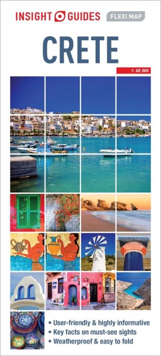
Insight Guides Flexi Map: Crete
Couldn't load pickup availability
Flexi Map Crete is a laminated, tear-resistant map at a scale of 1:225 000 (1cm = 2.25km), the west of the island is shown on one side of the map, the east on the other.
It includes a list - with descriptions and some photographs - of 25 recommended sights, divided by theme and linked to the mapping by numbered markers. There is also a handy information section with concise details on getting around, tourist offices, money, tipping, opening times, public holidays, telecommunications, emergency telephone numbers and climate.
In addition to the island's road network, the main map shows the course of the E4 long-distance footpaths as well as ferry routes. Towns and villages are named in both Latin and Greek, with those of particular significance clearly highlighted. Places of interest, such as archaeological sites, places of worship, beaches and leisure facilities are identified by easy to recognise pictorial symbols, the comprehensive index includes a separate listing for these.
This map also provides a detailed picture of the topography through the use of relief shading, mountain ranges are named and some peak heights given.
A detailed street plan of Heraklion within the old city walls is also provided. This map has a separate index which is categorized for ease of use.
| Pages | n/a |
|---|---|
| Publication Date | 2018 |
| Publisher | Insight Guides |
| ISBN | 9781780056258 |
| Binding | Laminated Paper |
| Author | Collective |
- Local Delivery Available for Leeds postcodes

ALL GOODS TRAVEL WITH THE RESPONSIBILITY OF THE CUSTOMER


